Author: Alan

  • Great Allegheny Passage

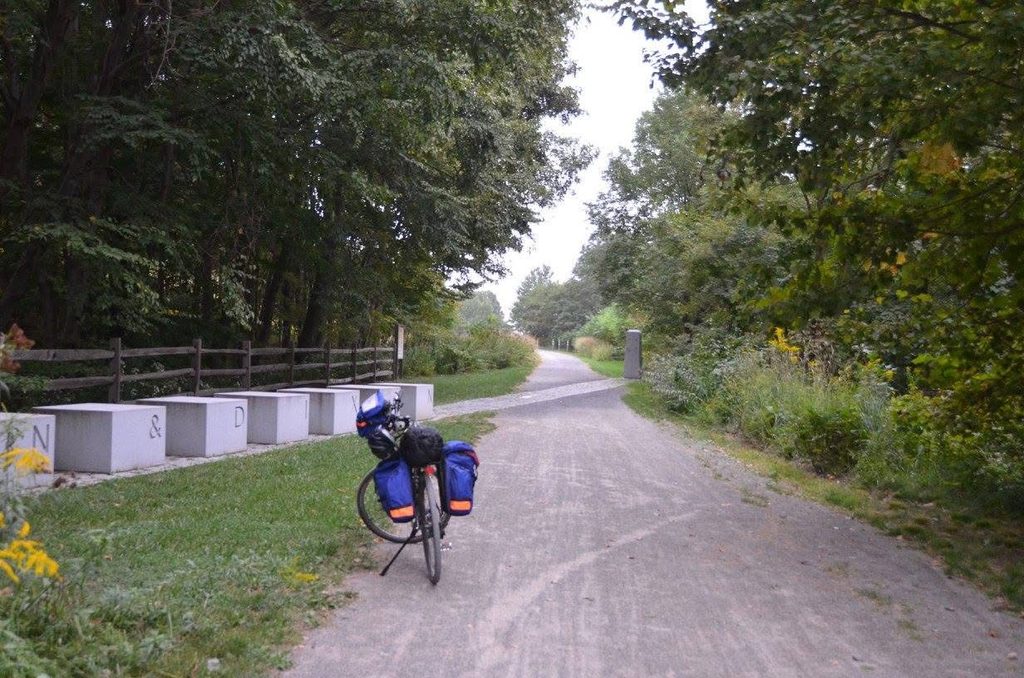
    In September 2016, I snuck away for a long weekend to ride the 150 miles (240 km) from Cumberland, Maryland north to Pittsburgh, Pennsylvania along the “Great Allegheny Passage”, a historical transportation route through the Allegheny mountains.

    The text for this post was written in 2026 based on the 2016 trip and photos.

    It was originally used by the Baltimore and Ohio Railroad, the Pittsburgh and Lake Erie Railroad, the Union Railroad, and the Western Maryland Railway.

    I started by driving to Pittsburgh and connecting with a shuttle service that took me and my bike the two-hour drive to Cumberland. I found what appeared to be a safe place to park the car for a few days near Station Square in Pittsburgh. I arranged the shuttle to pick me up at 2pm so that I had enough time to set up my bike in Cumberland and start my ride.
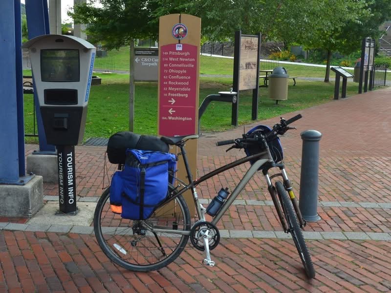
    Mile 0 of the GAP

    The first part of the ride follows the Western Maryland Scenic Railroad up the hill to Frostburg. While the tourist railway wasn’t running on the day I was riding, it parallels the rail trail, including through Helmstetter’s Horseshoe Curve and 275m Brush Tunnel. The ride to Frostburg was about 26km.
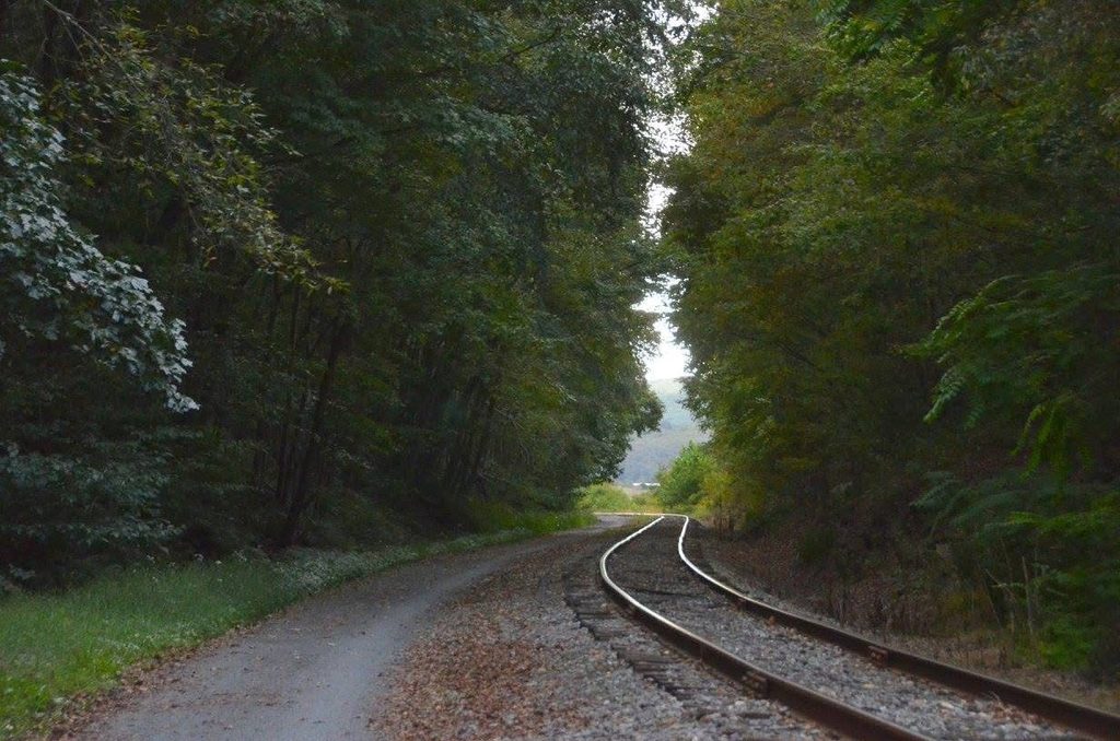
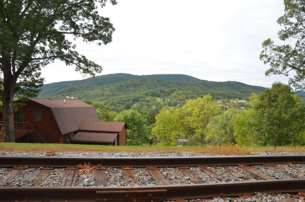
    I stayed overnight in Frostburg, camping at the Tunnel Hotel Lodging & Campground where I had made a reservation. I was the only person staying overnight. The older couple who owned the place explained that it was hard times – the Western Maryland Scenic Railroad which normally turned around right outside their restaurant had been closed for a year due to a washout. I walked into town for dinner.
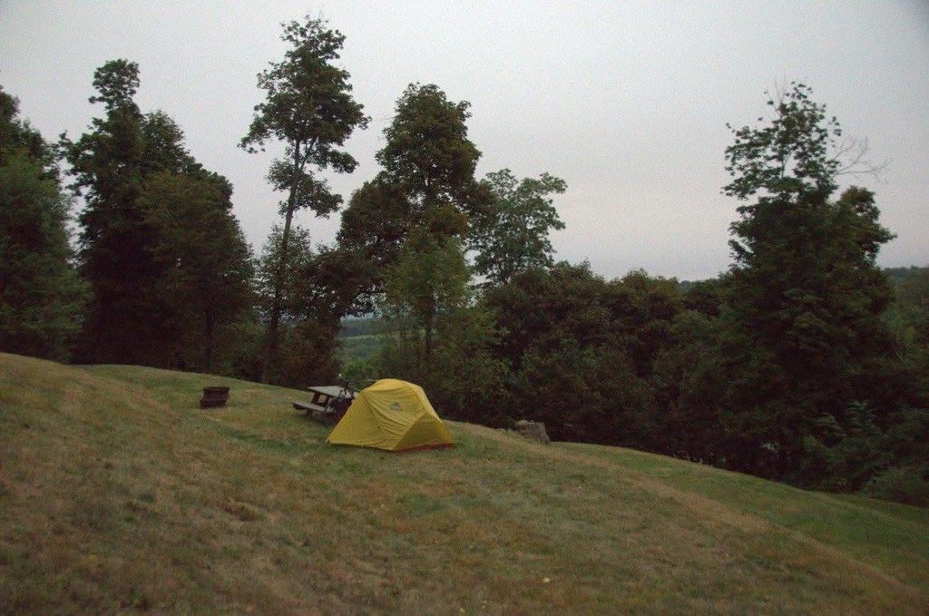
    Camping in Frostburg

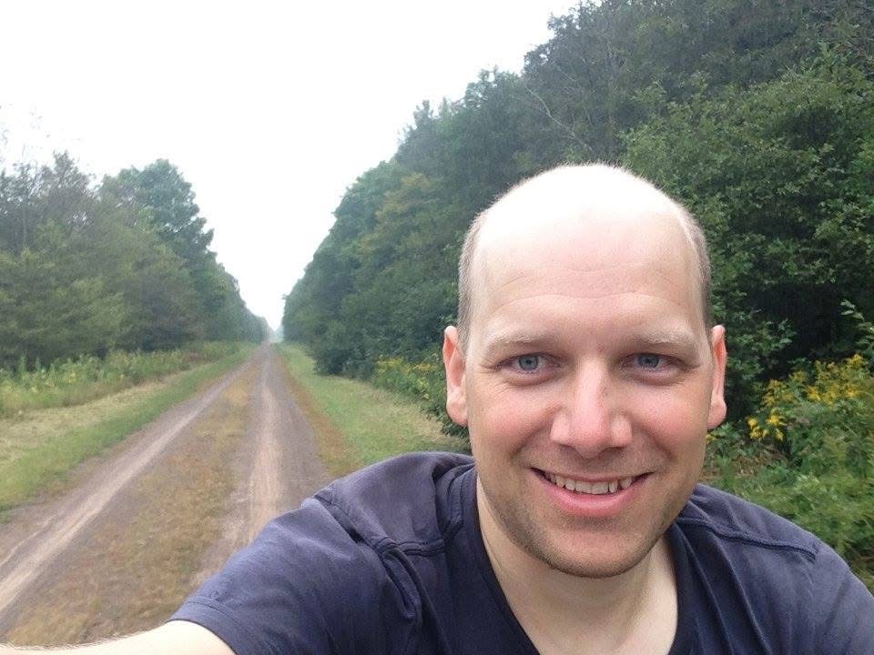
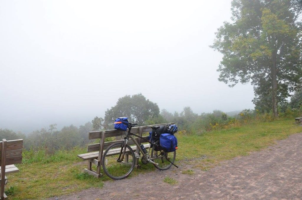
    The next morning I was back on the rail trail continuing up hill to the border between Pennsylvania and Maryland – the Mason–Dixon line separating the ‘north’ from the ‘south’. The views started to open but heavy fog and clouds blocked the mountains (here is what normally looks like).
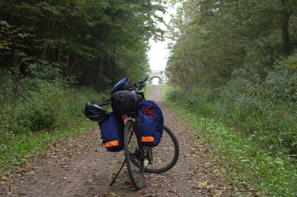
    A highlight is the 1km long Big Savage Tunnel. Fortunately, there are lights to make the ride doable. Shortly after the tunnel I crossed over the eastern continental divide. The rest of the ride was generally downhill.
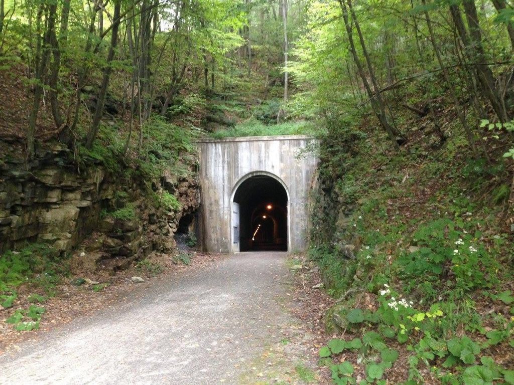
    1km long Big Savage Tunnel

    The route meandered down the Casselman River where one of the biggest bridges on the trip crossed the valley – the 600m long Salisbury Viaduct.
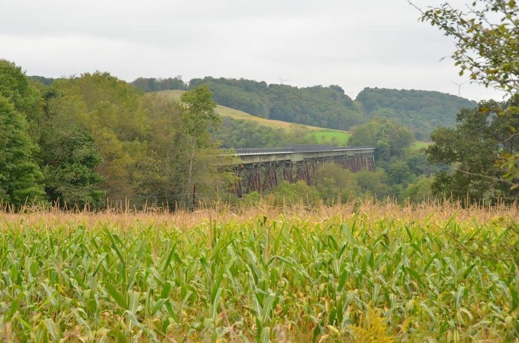
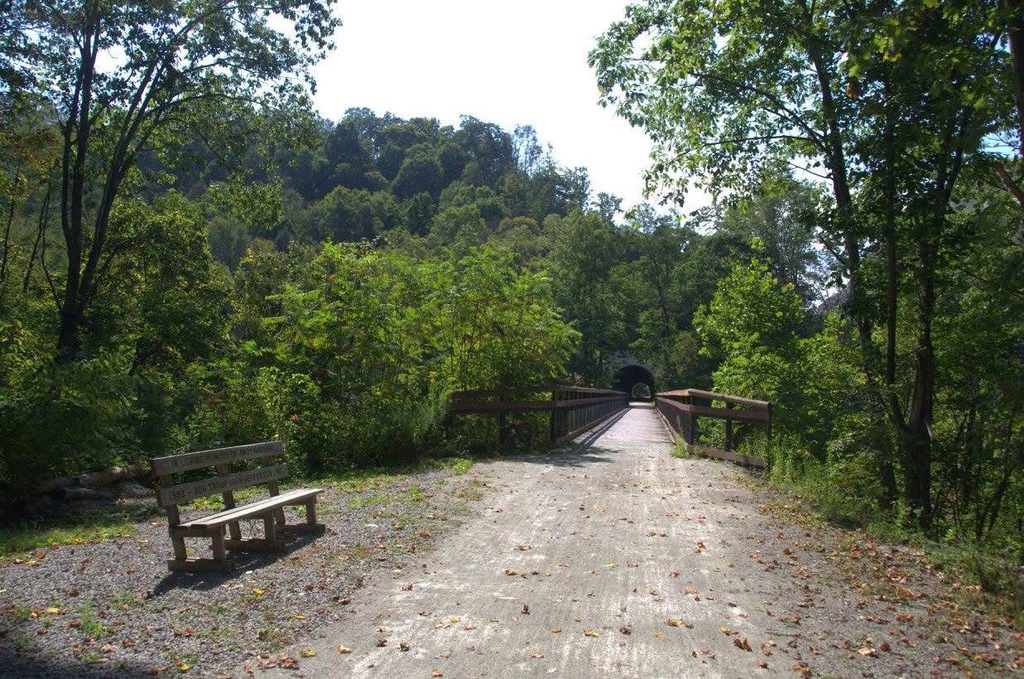
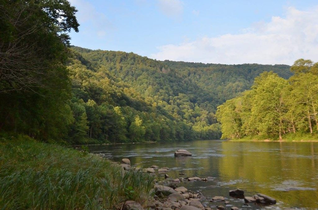
    There were beautiful sections along the Casselman River, and particularly remote kilometers along the Youghiogheny River. I cycled through the towns of Meyersdale and Confluence.
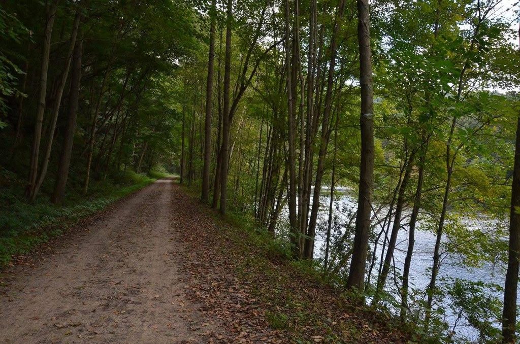
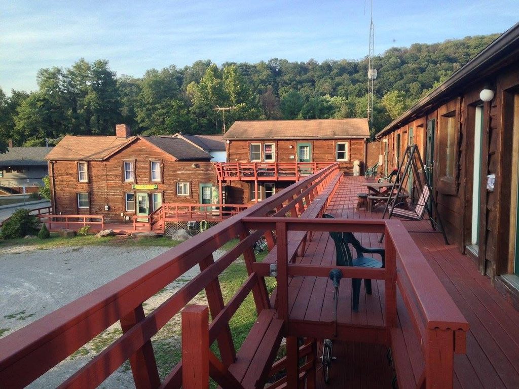
    I didn’t have a plan for where to spend the night but ended up in the little town of Ohiopyle and decided it was far enough – about 97 km. I looked at trying to camp in my tent at the Ohiopyle State Park but there was a huge hill to get to it. So instead I stayed at the Ohiopyle Suites with its shower and bed!

    I checked out the natural water slides rock feature just south of town but decided against visiting Fallingwater, the national architectural landmark designed by Frank Lloyd Wright just up the hill.
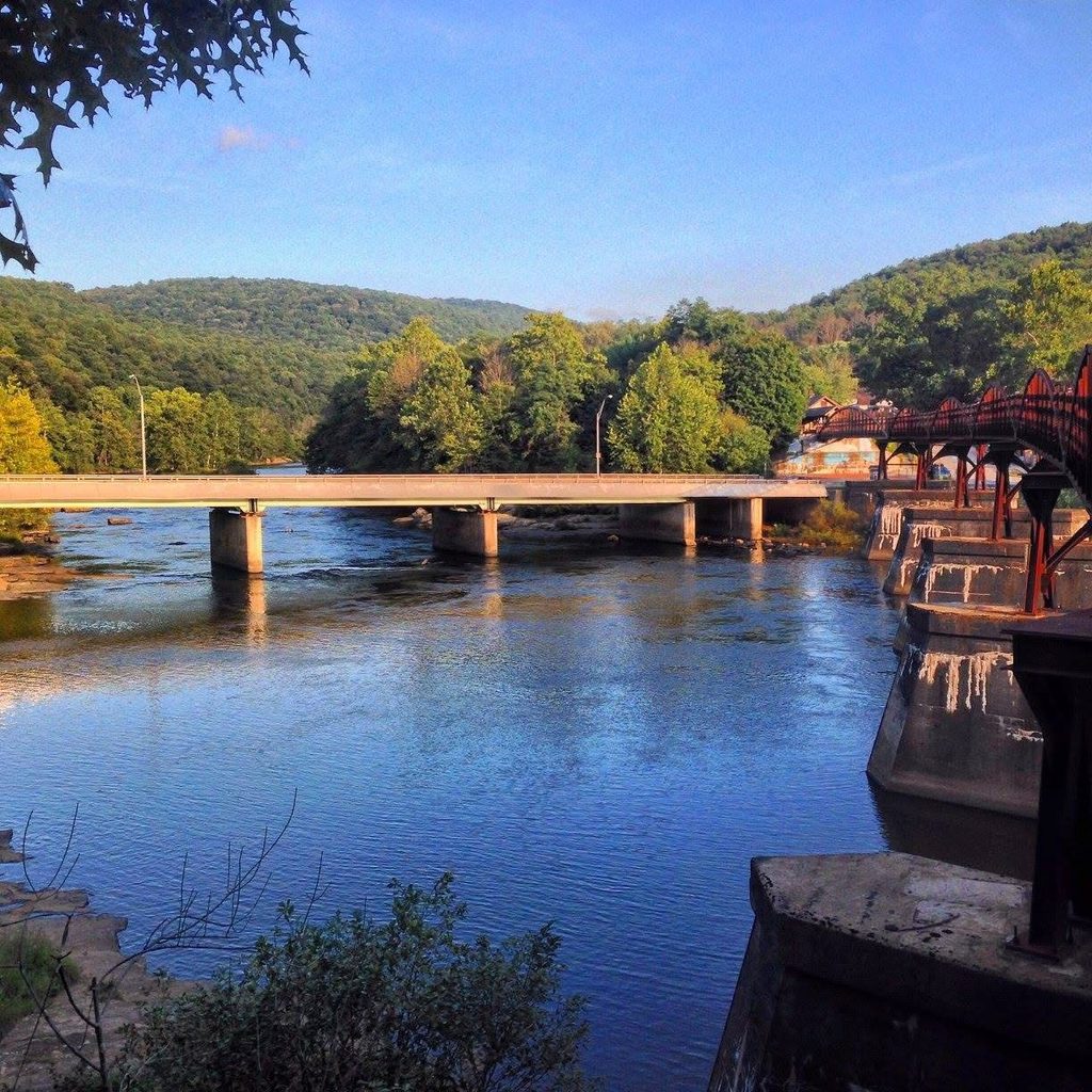
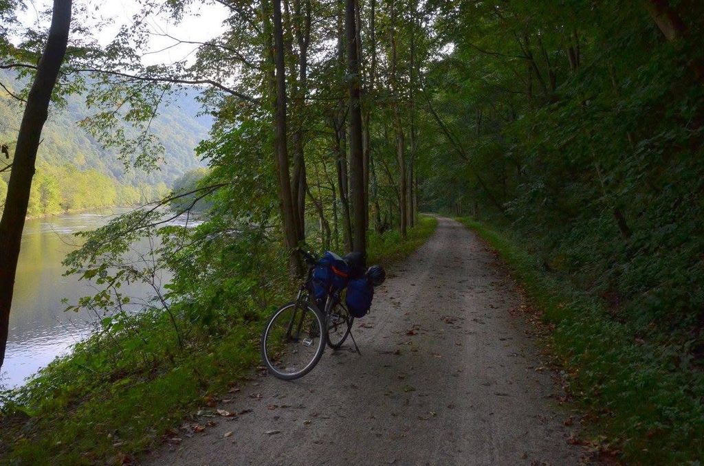
    The next morning I rode what I think was the most beautiful section – very quiet riding along the Youghiogheny River. I discovered immediately leaving town that there was a shortcut to the State Park campground that would have bypassed most of the hill that had stopped me the night before, as well as a huge bridge, the Ohiopyle High Bridge – next time!

    I had left very early and stopped for a homemade breakfast at the side of the trail.
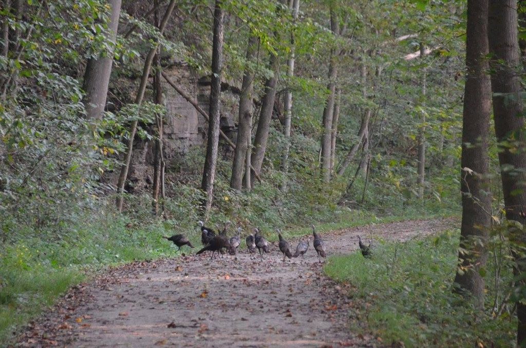
    Wild Turkeys
    Youghiogheny River
    Remote cycling in Ohiopyle State Park

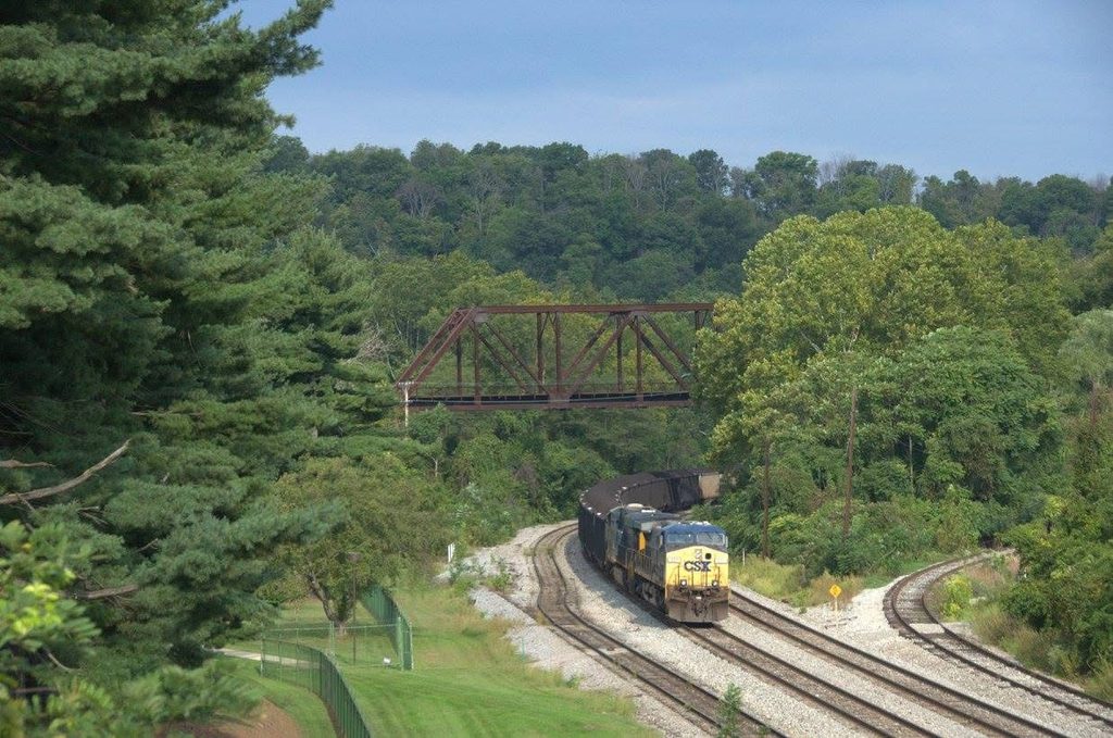
    The CSX mainline was usually on the other side of the valley from the trail but while often heard, was rarely seen. Some of the towns allowed me to see the tracks and grab a snack.
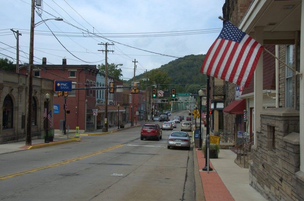
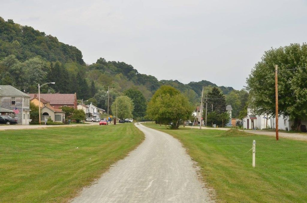
    As the day went on, I did look at some of the campgrounds. But it was still early in the day and I was making good time. I decided to just press on to Pittsburgh.
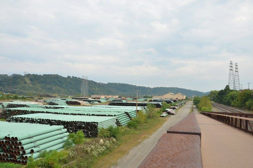
    The route passed a bunch of big steel plants on the approach to the city, starting in McKeesport.

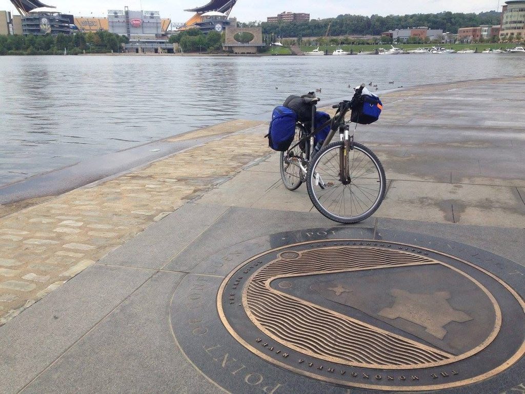
    I decided to end my ride at the Point State Park Fountain where the Allegheny River meets the Monongahela River which I had been following since it was joined by the Youghiogheny. This made for a 125k ride from Ohiopyle – a long ride!

    I loaded my bike back in the car and headed home — a late drive (after a long day of cycling), but I made it.
  • Coast Starlight

    In February 2016, I was visiting Los Angeles and Palo Alto for work. While the rest of my group flew, I took the Coast Starlight from Los Angeles to San Jose.

    (more…)
  • The Canadian – Vancouver to Toronto

    In April 2014, I joined my dad for the trip of a lifetime, riding VIA Rail’s The Canadian along its entire route from Vancouver to Toronto.

    (more…)
  • Agawa Canyon

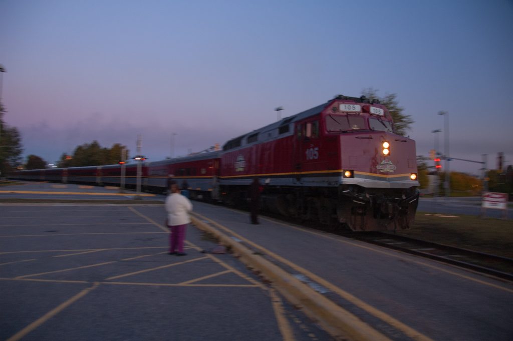
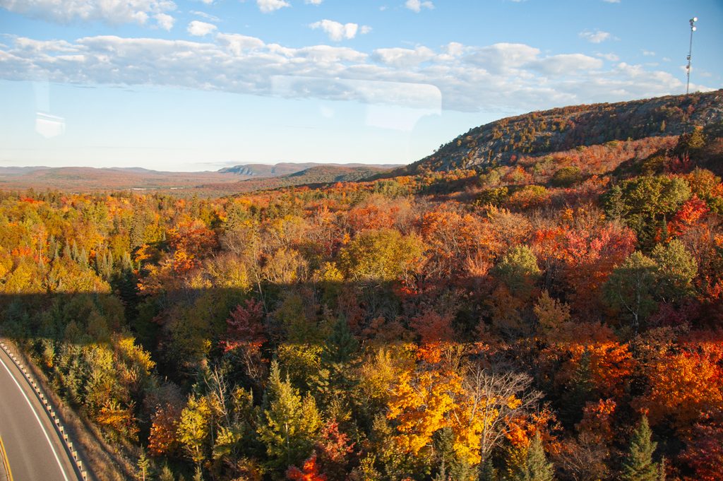
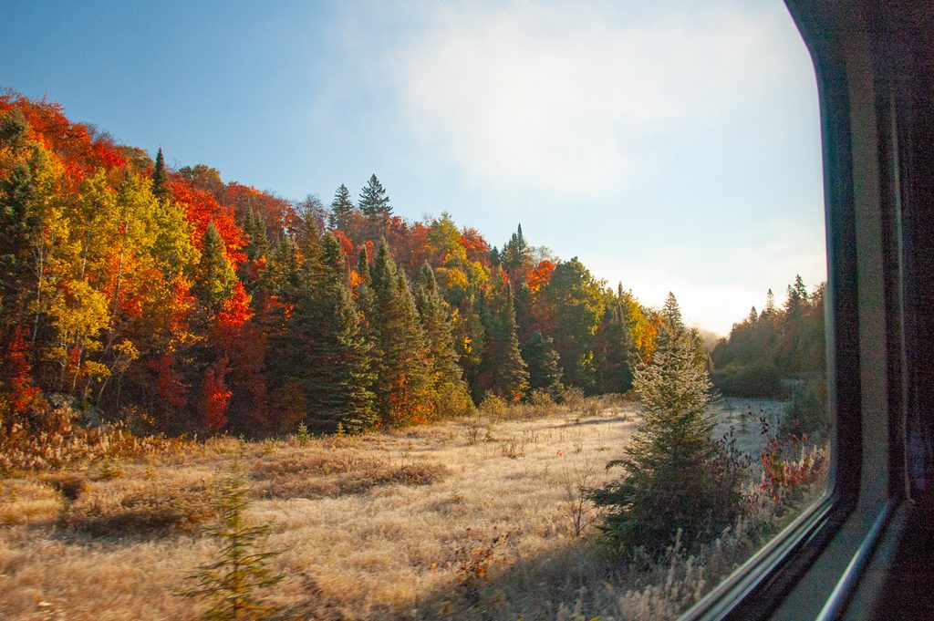
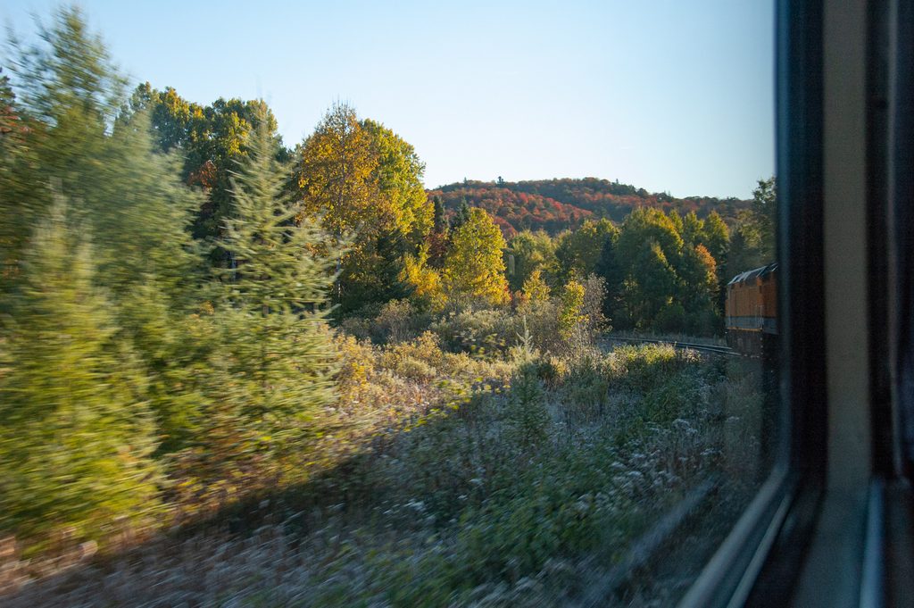
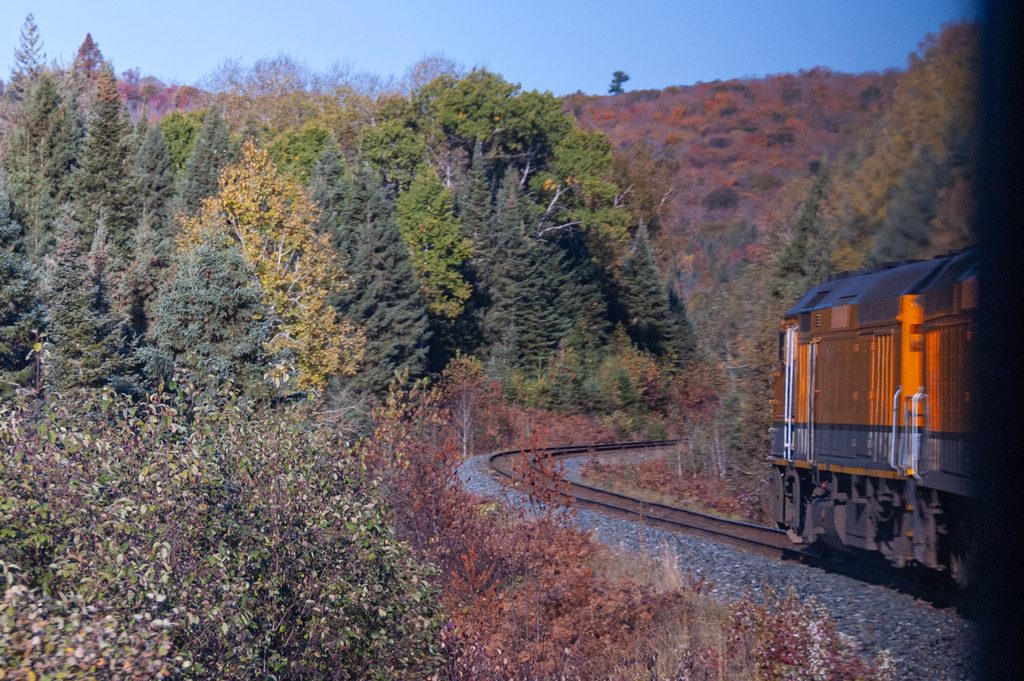
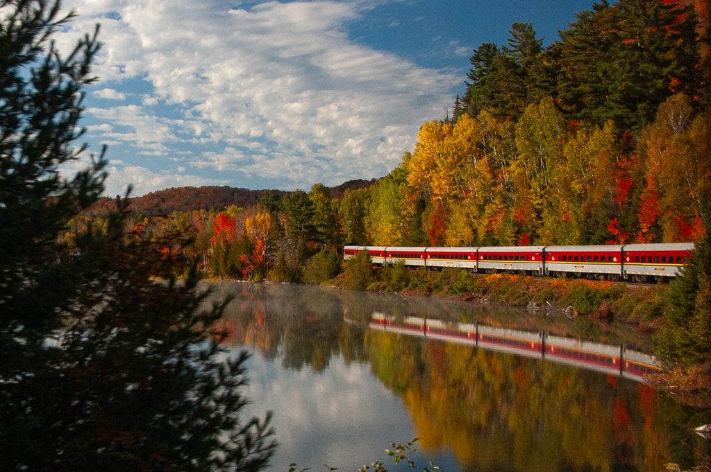
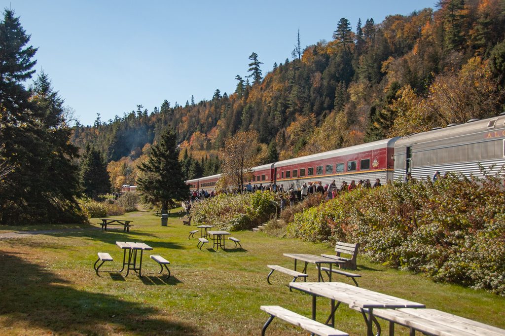
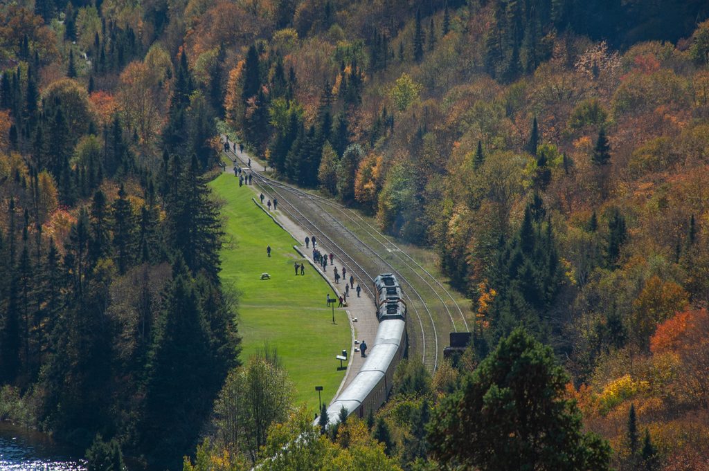
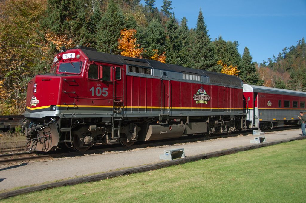
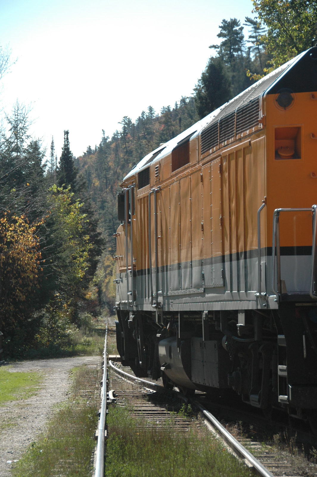
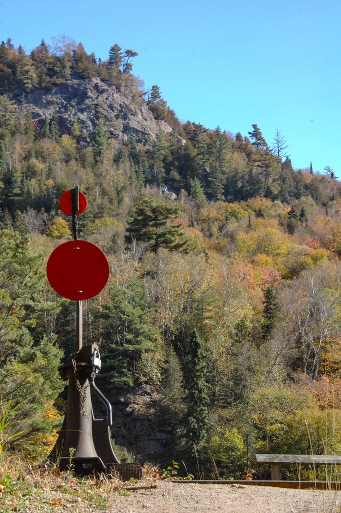
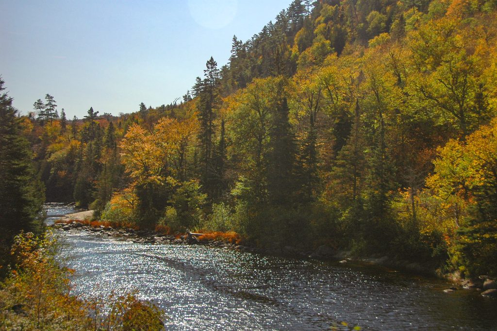
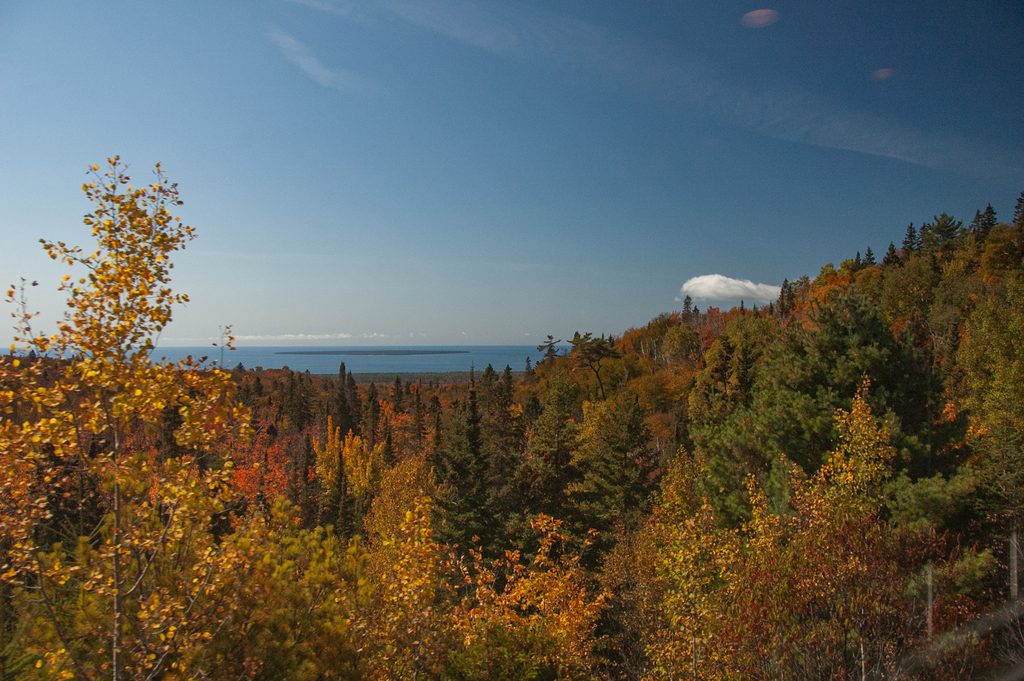
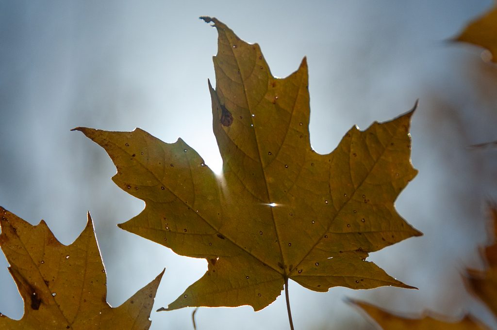
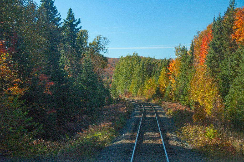
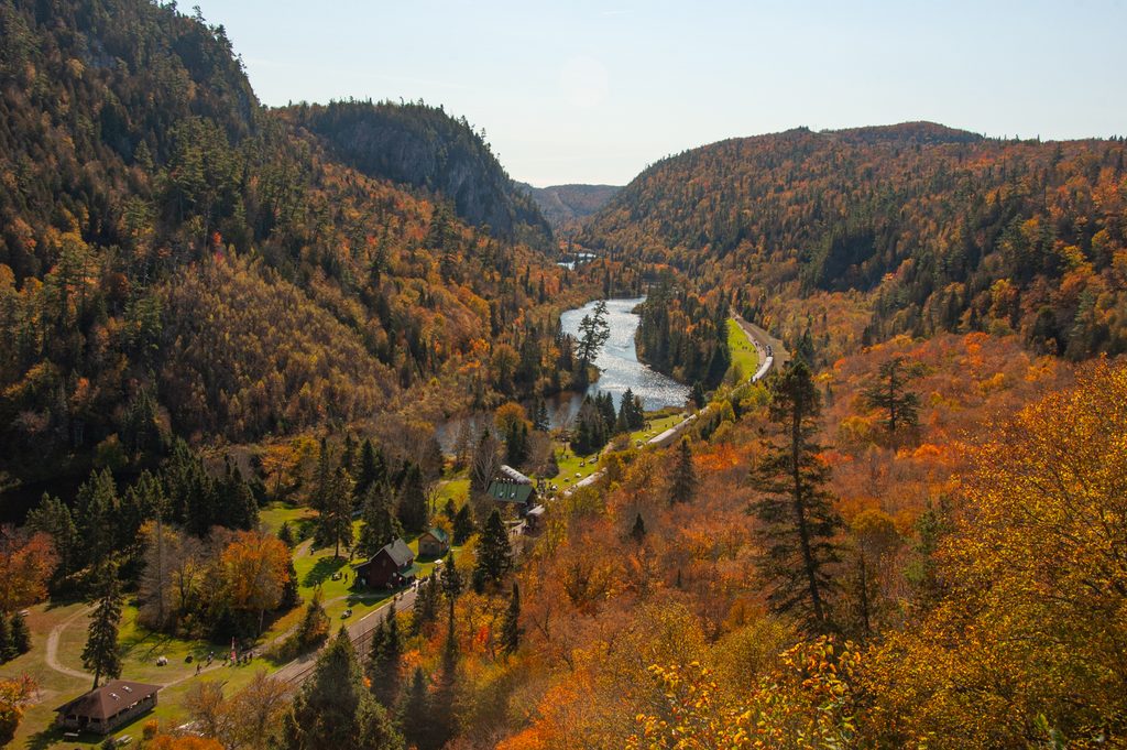
    This is a tourist train that operates from Sault Ste. Marie, north into the wilderness to Agawa Canyon. I was able to check out the spectacular fall colours that make the route famous and lucked out with some perfect weather and peak conditions.

    The text for this post was written in 2026 based on the October 2, 2011 trip and photos.

    Agawa Canyon

    The trip has been operated by two companies over the years. When I rode this train, the railway and track was still owned by CN through its Algoma Central Railway. Since 2022, it has been owned by Watco, operating as the Agawa Canyon Railway.

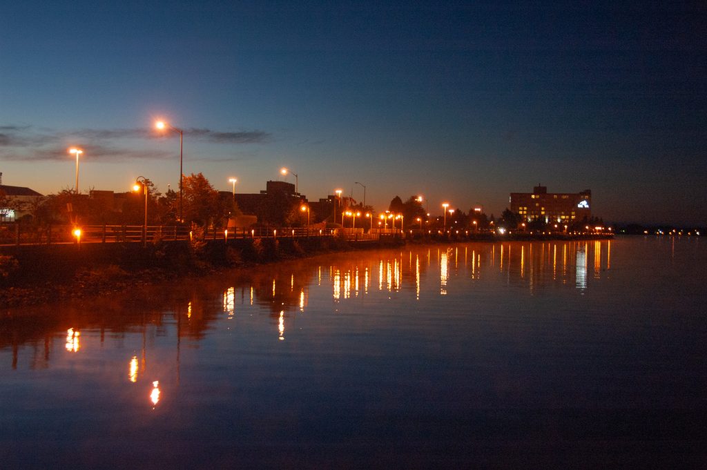
    I flew into Sault Ste. Marie and got a taxi downtown to my hotel. I stayed at the historic Algonquin Hotel built in 1888. I picked it in part because it was walking distance to the train station however the bar on the ground floor was loud!

    It was still dark and frosty when we boarded the train.

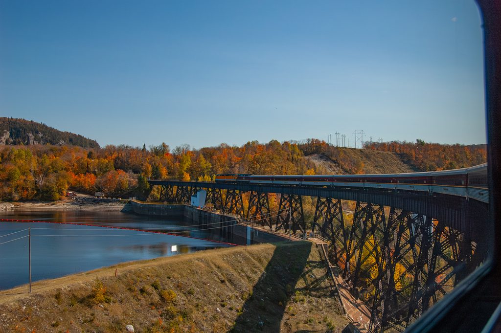
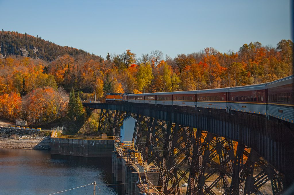
    We got our first views and colours as the train headed north and across the big bridge over Highway 556.

    Fall colours from the Highway 556 Bridge

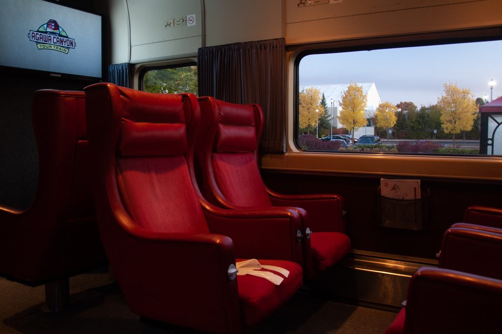
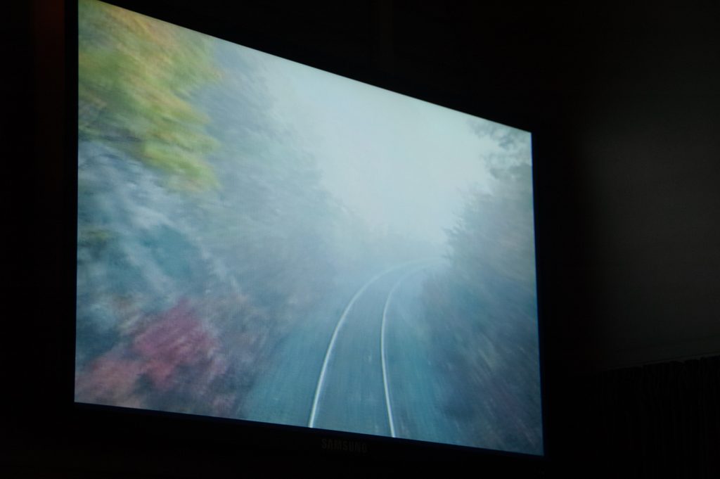
    A neat feature of the train was a forward-facing camera connected to TVs so you could see what was coming up. For the first part of the trip, morning fog filled the low areas and frost covered the grasses.

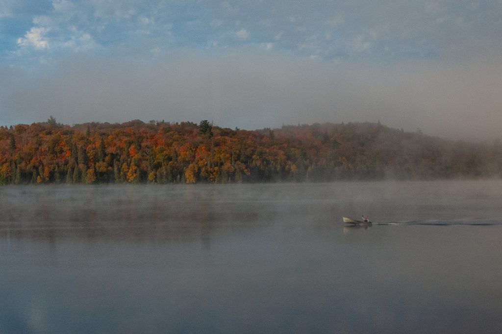
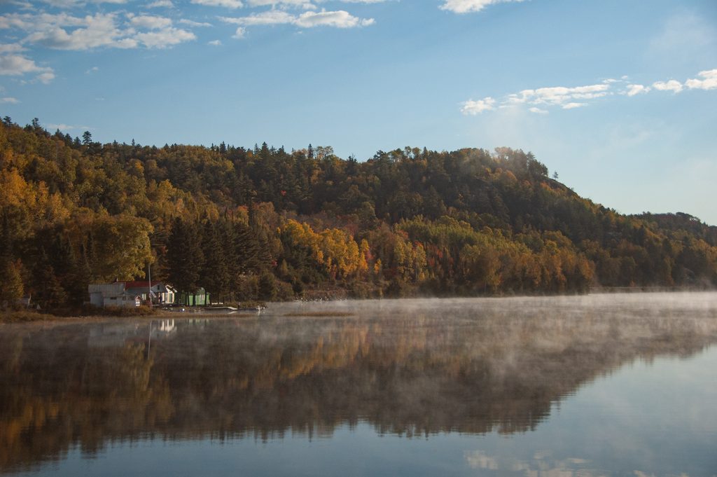
    Even after most of the fog had burned off, the lakes still had mist. On this lake, we got a wave from a passing motorboat. I think this is Achigan Lake.

    Achigan Lake

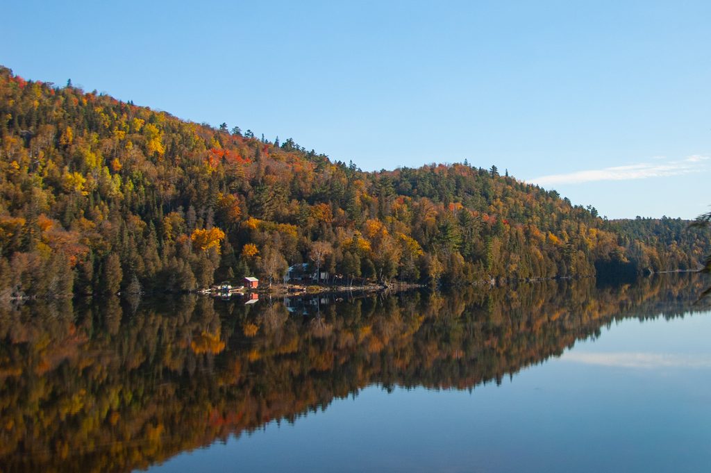
    Some great reflections along Ogidaki Lake:

    Ogidaki Lake
    Ogidaki Lake

    More reflections and fall colours on Mongoose Lake.

    Mongoose Lake

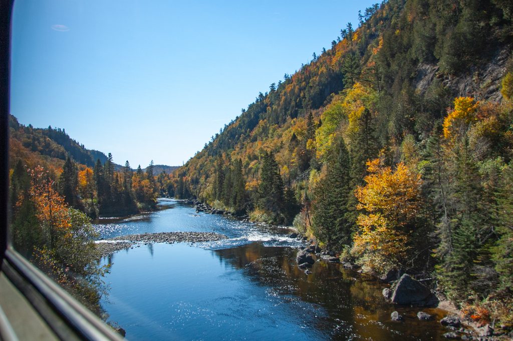
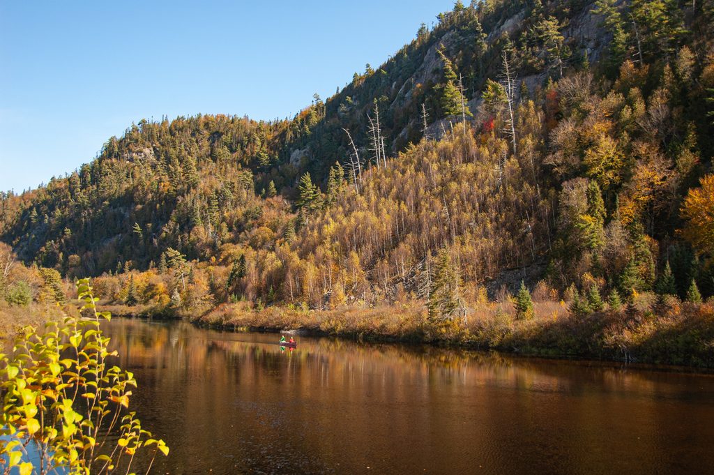
    We crossed the Agawa River as we approached our lunch stop in Agawa Canyon. The train stopped for a break, picnic lunches and allowed us to wander around before the return trip.

    Paddlers on the Agawa River

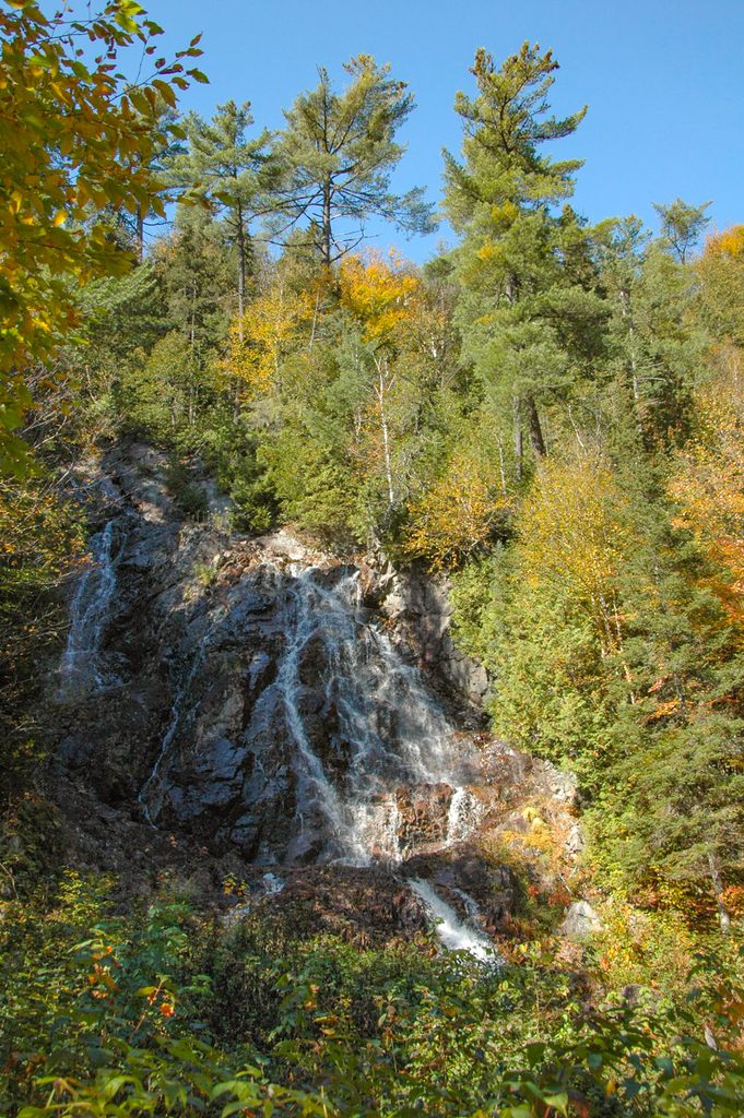
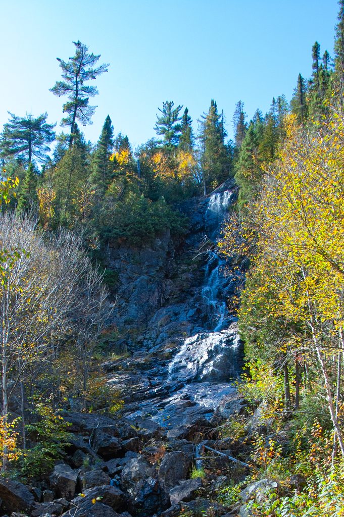
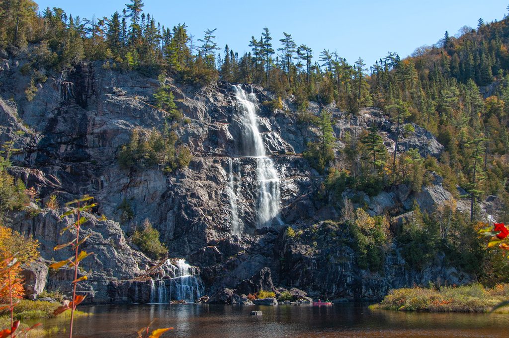
    There were several waterfalls and viewpoints accessible from the station that I was able to check out.

    Agawa River on the southbound trip:

    We caught glimpses of Lake Superior as we came down from the highlands.

    We crossed the bridge above the MacKay Dam on the Montreal River.

    After the trip, I stayed overnight at my hotel and then flew home on the early flight the next morning. Unfortunately, the memory card on my camera was corrupted, and so many of the photos from the second part of the trip were lost.

  • Thanksgiving 2009

    For Thanksgiving 2009, Marianne and I spent a week in BC visiting Vancouver, Nelson and the Okanagan.

    (more…)
  • Thanksgiving 2006

    Here are some photos from a weekend trip to Vancouver Island in British Columbia for Thanksgiving in 2006.

    (more…)
  • Trans-Siberian

    In August 2006, I travelled around the world in 28 days via St. Petersburg, Moscow, Siberia, Mongolia, China and Vancouver.

    (more…)
  • Norway Fjords

    In July 2006, I took part in a group cycling trip through the fjord region of Norway. Over 7 days of cycling (8 full days), we cycled roughly from Stavanger to Bergen meandering in and out of the fjords under our own power, but also on ferries and trains.

    (more…)
  • Thanksgiving 2005

    This trip was just for the Thanksgiving long weekend in early October 2005. I flew into Kelowna and met up with my parents for the drive to Spences Bridge. The rest of my dad’s side of the family was already there after driving in from Vancouver and Victoria.

    (more…)
  • Kingston to Ottawa Cycling

    This trip was a solo cycling trip from Kingston to Ottawa, roughly parallelling the Rideau Canal. This trip was done over 6 days at the end of August and early September in 2005. Each cycling day was roughly 60km along the most direct route, although I tended to take less direct, but more interesting back roads. For accommodation, I stayed in bed and breakfasts – it is much easier to cycle when you know there is a warm bed and hot shower waiting for you at the end of the day.

    (more…)